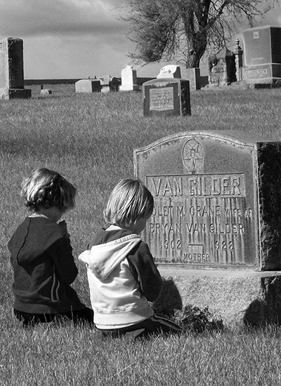
The cemeteries of the county tell intriguing stories and led me down a path of discovery. Transcribing information on tombstones led me to share information with county elders who offered to connect the dots – Giles and Lela French, Bea Richelderfer and Helen Bruckert. This 1965 survey of Sherman County cemeteries was published in Yesterday’s Roll Call by the Genealogical Forum of Oregon.
![]()
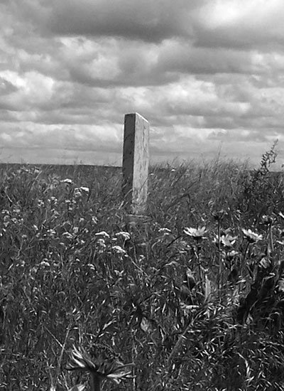
Located on private land in T5S, R17E, SW corner of the SW1/4 of Section 12 near Kent where John Daugherty owned land in 1913, the four graves were recorded in 1965 by Jill Nogle for Sherry Kaseberg who visited the site in 2005. This family plot is on what was “the Adams place” or “Luke Davis Place” near Kent. No trespassing, please.
MoreDeMoss Family Cemetery
The DeMoss family cemetery on private land was established by George and Henry DeMoss near DeMoss Springs. Located in Grass Valley Canyon, it is next to a large bluff the family called Echo Rocks in T1S, R17E. In 1913 the extended DeMoss family owned land in several sections. The family was widely known for their missionary music, composing and entertaining as The DeMoss Family Lyric Bards in America and abroad. The family laid out the now-abandoned Prohibition town of DeMoss Springs in 1900 and named the streets for composers and poets, the present location of DeMoss Springs Memorial Park on Highway 97.
MoreThe 2.5 acres donated by William Rayburn in 1893 for use as a cemetery lies near the Oregon Trail northeast of Wasco, T2N, R18E, NW ¼ of NE ¼, Section 34. Rayburn’s wife, Eliza J., was the first burial. Some early newspapers refer to Biglow Cemetery.
MoreGrass Valley Cemetery
J.B. Goit surveyed the IOOF Cemetery in 1897 and E.F. Sharp surveyed it in 1904. A warranty deed, R.L. Campbell et al, Trustee, from Oliver P. King, et us, was recorded in Deed Book E, page 66, Sherman County Courthouse 13 September 1897 and signed by Oliver P. King and Addie King, witnessed by C.R. Rollins and C.W. Moore, in consideration of $1 paid by R.L. Campbell, J.D. Wilcox & J.H. Smith, Trustees of Grass Valley Lodge #131, IOOF, Grass Valley to Oliver P. and Addie King of Grass Valley: six acres in the SE ¼ of Section 22, T2S, R16E, for cemetery purposes. The conveyance is given for purpose of correcting an error in a deed dated July 10, 1897 and recorded in Deed Book D, page 617. The Grass Valley Lodge #131 – Willard Barnett, Marcus Eslinger & Rodney Rolfe, officers, signed articles of incorporation to provide for the care, maintenance and improvements of the Grass Valley IOOF Cemetery. Graves from the King ranch were removed to the Grass Valley IOOF Cemetery, including white granite markers.
MoreIsolated and Individual Gravesites
We are mindful that these solitary gravesites are on private land, and most are unmarked by stone or fence. No trespassing, please!
MoreKent IOOF Cemetery
Located one mile north of Kent near Highway 97, the cemetery in the NW corner of the NW ¼ of Section 21, T4S, R17E, Kent Cemetery was surveyed in February 1911 by J. B. Goit of The Dalles, Oregon and dedicated by the IOOF on February 20, 1911. Grave stone inscriptions were recorded in 1965 by Sherry Kaseberg. Pat Helyer, Chris Sanders (Sherman County newspaper obituaries) and Emma Jean Smith contributed additional information. The Kent Baptist Church owns and operates the Kent Cemetery.
MoreLeonard’s Rock – An Inscribed Basalt Column
In Ogle’s Standard Atlas of Sherman County, 1913, Leonard’s Rock is in the middle of section 8, T1N, R19E, and S of the road to McDonald on the John Day River. Dan Leonard is shown in the 1860 U.S. Census, Fall River Precinct in Wasco County, and lived at the Oregon Trail Crossing of the John Day River. Originally located well off the county road, it was moved to the county roadside where it was broken into two parts, reportedly by a road grader.
MoreMichigan Cemetery, named for settlers who came from Michigan, is in T3S, R16E, NW ¼ of NW corner, NW ¼ Section 16, next to the Highway 216, about five miles SW of Grass Valley. The Michigan School was located in T3S, R16E, NW ¼ of the SW ¼ of Section 20.
MoreThe Moro Cemetery was operated by the Moro IOOF Lodge. “Moro IOOF – MEMORANDUM. It is hereby understood and agreed by and between the trustees of the Oddfellows Cemetery Association of Moro that the price of lots in the cemetery shall be…
MoreRufus Cemetery
This small cemetery is on the hill south of Rufus, T2N, R17E, SW ¼ of NE ¼, Section 6. A warranty deed filed for record October 2, 1906, shows that T.A Fowler et us deeded to Sherman County in consideration of $6.00 the following described real estate: commencing at a rock at the North East corner of the Rufus cemetery running South eighty two (82) feet thence West twelve (12) feet thence North twelve (12) feet thence East twelve (12) feet thence South twelve (12) feet to place of beginning containing two burial lots numbers thirteen and fourteen all being and lying near the Northeast corner of the South West quarter (1/4) of the Northeast quarter (1/4) of Section Six (6) of Township Two N (2N) of range seventeen (17) E W M. Following the above directions, one concludes an error exists.
More Old Kent Cemetery (The Observer Farm Cemetery)
This windswept little cemetery is located on private land two-and-one-half miles south of Kent, Sherman County, OR near Highway 97, in the NW corner of NW1/4 of Section 10, T5S, R17E, on land once owned by the Ireland family, owners of the Sherman County OBSERVER, at Moro, Oregon. Over time, it has been called the Old Kent Cemetery, Wilcox Cemetery, and Observer Farm Cemetery. Agricultural operations have encroached on the cemetery and it is not fenced. Please, do not trespass. (Wilcox Cemetery, Old Kent Cemetery).
MoreRose Hill, a charming little community cemetery, sometimes called Rose Hill Cemetery, Spaulding Cemetery, Monkland Cemetery, Wm. Rose Cemetery or Hay Canyon Cemetery, is located on the east edge of Section 26, T1S, R17E, four miles east of Moro in the Upper Hay Canyon area.
MoreLocated NW of Wasco and W of Highway 97 in the extreme SE corner of section 31, T2N, R17E, the cemetery tract was deeded to Taylor Lodge #99, AF&AM by the heirs of Colonel James Fulton and filed at the courthouse in March 1899. In October, 1952, Taylor Lodge deeded the property to the Wasco Cemetery Association.
MoreRutledge Cemetery
The hamlet of Rutledge comprised a church, the burial ground, a school and nearby homesteads. Little is known about the Rutledge Cemetery near the site of the Rutledge church except that it was abandoned and some of the graves moved to Grass Valley or Rose cemeteries. It is believed that some graves were plowed over and some exposed in road construction.
MoreCemetery, owned by Wasco United Methodist Church, is located in Township 2 North, Range 17 East, in the SE corner of Section 31 northwest of Wasco. The land was conveyed in a deed dated May 10, 1881 to the Methodist Church for $1 by the Jesse Eaton family and recorded twice, 27 September 1881 in Wasco County and 11 May 1889 in Sherman County after Sherman County was formed.
MoreSurely God would not have created Such a being as man, with an Ability to grasp the infinite, to exist only for a day! No, no, man was made for immortality. – Abraham Lincoln


